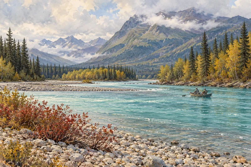
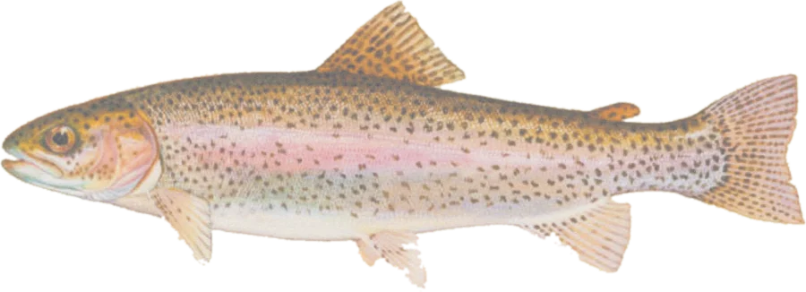
 Rainbow troutRainbow trout, Dolly Varden, sockeye and coho salmon
Fish on your own. Guide prices are optional; check licence, permit and access requirements before going.
JFMAMJJASOND
- Guide, per angler
- $330
- Public access
- Good
- Crowding
- High
Explore steelhead, cutthroat, Dolly Varden, Arctic char and salmon habitat from Alaska’s 2026 Anadromous Waters Catalog, with public land, federal fishing and boating access sites, and river gauges.
Catalog coverage. This map covers documented migratory fish habitat in named waters. Resident rainbow trout and grayling are not comprehensively mapped by this source; unnamed tributaries and lake-area polygons are omitted. Cataloged habitat does not establish that a fishery is open. Check ADF&G emergency orders, which can change the published fishing rules.
Check before you fish. Access, stocking and regulations here come from Alaska's own data and can be out of date. Posted signs and landowners' wishes come first, and private land needs permission. The rules that apply are in the Alaska sport fishing regulations, and you need a valid fishing license.
Bold where the stream crosses public land; faint and dashed across private land. Gauges are measurement stations; a nearby gauge may be on a different stream.
Stream types · Alaska
Bold where the stream crosses public land
Rainbow troutRainbow trout, Dolly Varden, sockeye and coho salmonFish on your own. Guide prices are optional; check licence, permit and access requirements before going.
Species layers follow stream segments where the catalog documents spawning, rearing or migration. Steelhead are the migratory form of rainbow trout; the cutthroat layer covers cataloged migratory cutthroat. Char and Dolly Varden are separate layers. Salmon combines Chinook, coho, sockeye, chum and pink salmon; stream details list the documented species and life stages.
Where layers overlap, the top layer’s color appears. Turn layers off to inspect the others. Different waters with the same name remain separate through their catalog identifiers. Use the borough / census area filter to narrow the list.
Highlighted stretches run through or within about 20 meters of fee-owned parcels marked open access in USGS PAD-US.Dimmed stretches have no adjacent open-access parcel recorded in that source. Public land can be remote and may require a boat or aircraft to reach. The map does not establish a route across private or Alaska Native corporation land, or replace permits, land-manager rules and posted restrictions.
Access markers are Forest Service fishing or boating sites and BLM launch, takeout and fishing facilities within about 800 meters of mapped habitat. They are facility locations, not verified parking coordinates, and do not cover every Alaska access site.
Spot something wrong? Tell us.