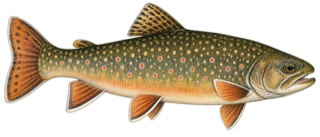
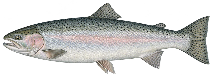
 SteelheadSteelhead, lake-run brown trout
Fish on your own. Guide prices are optional; check licence, permit and access requirements before going.
JFMAMJJASOND
- Guide, per angler
- $250–275
- Public access
- Good
- Crowding
- High
Today
Trout water near home and 60 destinations further afield, with live flows and fishing reports. Independent: no paid listings.
Go 0Iffy 0No 0
Save a river with on its page and it shows here with today's verdict. Your saved water
For an evening or a Saturday: stocked and wild streams with public stretches, parking and this season's stocking in 50 states.
 Alaska5,268 streams
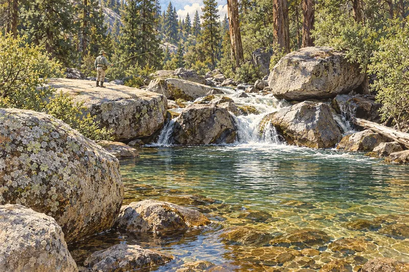 California61 designation areas
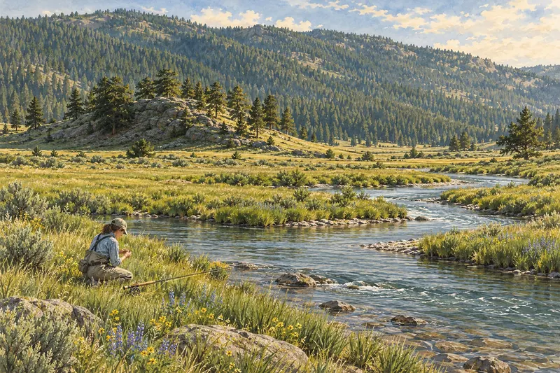 Colorado85 streams
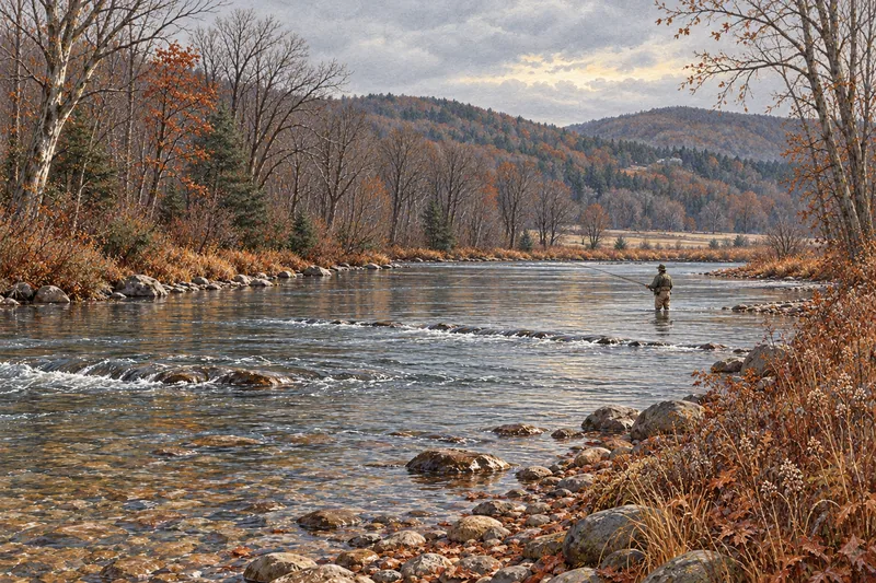 Connecticut160 streams
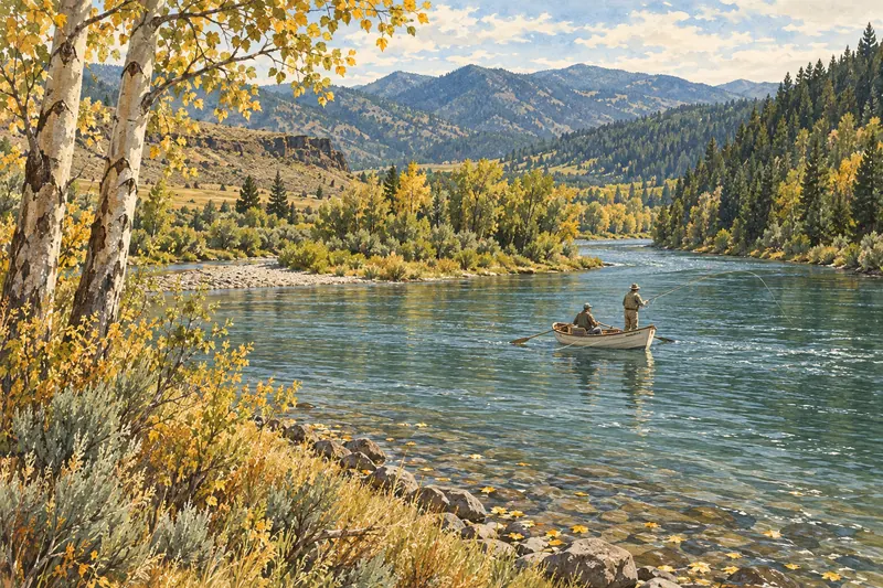 Idaho2,061 streams
 Maine3,141 habitat sections
 Massachusetts1,450 streams
 Michigan2,713 trout sections
 Minnesota938 mapped sections
 Montana4,478 streams
 New Hampshire1,059 streams
 New Jersey188 streams
 New Mexico536 streams
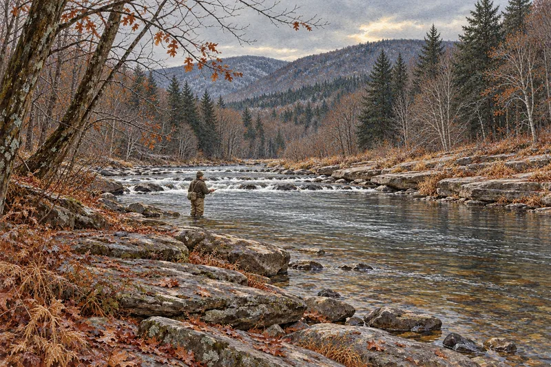 New York302 streams
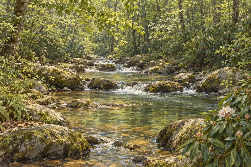 North Carolina1,775 trout sections
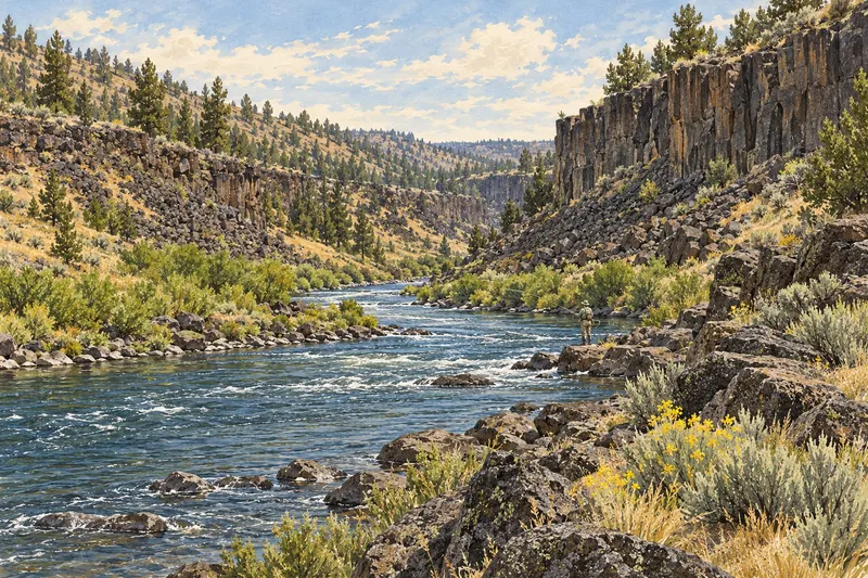 Oregon9,890 habitat sections
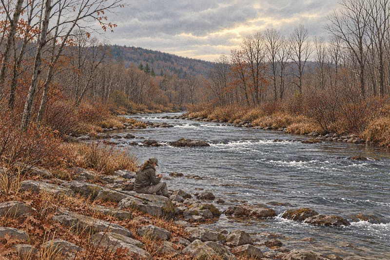 Pennsylvania1,876 streams
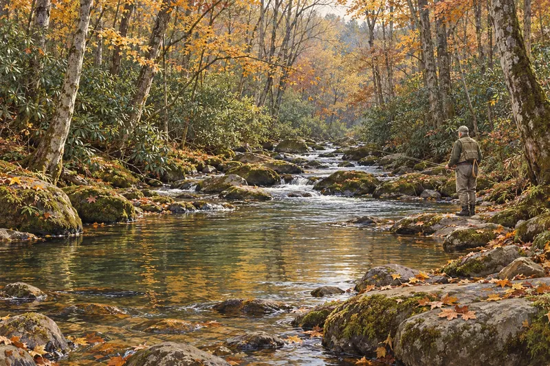 Tennessee874 waters / sites
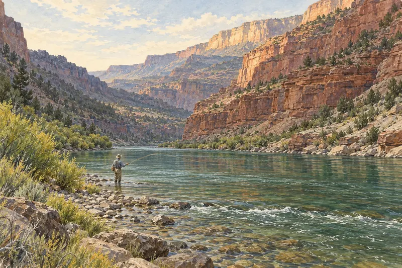 Utah36 river sections
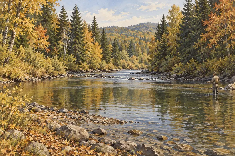 Vermont840 streams
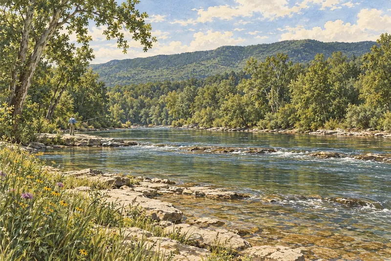 Virginia1,199 trout reaches
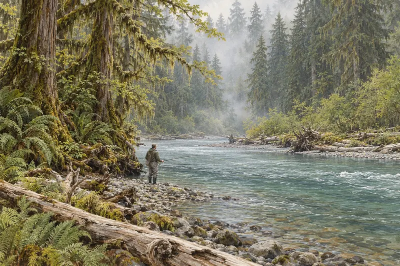 Washington3,972 habitat waters
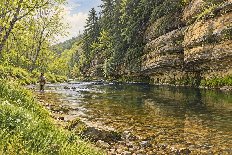 Wisconsin2,538 trout sections
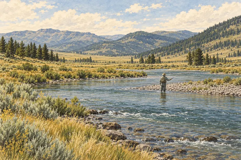 Wyoming2,954 streams
Try “Trout near NYC, eight hours total, public access.” Review the suggested filters before applying them. Ordinary search is always available.
Open this panel to check your AI allowance.
Fill in any missing details below. These edits are free and do not use another AI suggestion.
These requirements are not applied:
Review the remaining filters and limitations before applying. You can also change the ordinary controls after applying.
Choose suitable water, find support and know what to bring.
60 trip destinations, in season first, and 11,800+ public access points on trout water you can fish on your own, 1749 of them checked for trip planning. A gold underline marks this month on each destination card.
These places match your other filters but exceed your time or drive limit. Your search limits have not changed.
Marker colors show each water's predicted conditions. Forecasts cover 1 to 7 days depending on the river; water temperature is checked for today only, and legal access isn't predicted.
Loading predictions…
Ordered by the day's prediction, then how many of the next days also look good, then how close today's flow is to normal. Follows your search filters; waters with reported restrictions are left out. Check river details and current rules before going.
| Destination | JanJ | FebF | MarM | AprA | MayM | JunJ | JulJ | AugA | SepS | OctO | NovN | DecD |
|---|---|---|---|---|---|---|---|---|---|---|---|---|
| Ambergris CayeSan Pedro · $240 | In season | In season | In season | In season | ||||||||
| Andros IslandCentral and South Andros · $400 | In season | In season | In season | In season | In season | |||||||
| Arkansas RiverColorado · $375 | In season | In season | In season | In season | In season | In season | ||||||
| Ascension BayQuintana Roo · $425 | In season | In season | In season | In season | In season | In season | In season | |||||
| Assynt LochsScotland · $298–318 | In season | In season | In season | In season | In season | |||||||
| Beaverkill & WillowemocNew York · $225–263 | In season | In season | In season | In season | In season | |||||||
| Big Flat BrookNew Jersey · $225 | In season | In season | In season | In season | ||||||||
| Bighorn RiverMontana · $363 | In season | In season | In season | In season | In season | In season | ||||||
| Bow RiverAlberta · $282 | In season | In season | In season | In season | ||||||||
| Bristol BayAlaska | In season | In season | In season | In season | ||||||||
| Cape CodMonomoy · $450 | In season | In season | In season | In season | In season | In season | ||||||
| Central PA LimestonersLittle Juniata · $250 | In season | In season | In season | In season | In season | |||||||
| Deerfield RiverMassachusetts · $238–300 | In season | In season | In season | In season | In season | |||||||
| Derbyshire WyeEngland · $166 | In season | In season | In season | In season | In season | |||||||
| Driftless Areaand southeast Minnesota · $250–325 | In season | In season | In season | In season | In season | |||||||
| Esopus CreekNew York · $225–375 | In season | In season | In season | In season | In season | In season | ||||||
| Farmington RiverConnecticut · $300 | In season | In season | In season | In season | In season | In season | ||||||
| Florida KeysIslamorada to Key West · $500 | In season | In season | In season | In season | In season | |||||||
| Great Smoky MountainsNorth Carolina · $188–263 | In season | In season | In season | In season | In season | In season | In season | |||||
| Green RiverUtah · $350 | In season | In season | In season | In season | In season | In season | In season | |||||
| Guadalupe RiverTexas · $225–300 | In season | In season | In season | In season | In season | In season | ||||||
| Henry's ForkIdaho · $398–425 | In season | In season | In season | In season | In season | |||||||
| Housatonic RiverConnecticut · $300 | In season | In season | In season | In season | In season | |||||||
| IcelandBlanda and others · $649 | In season | In season | In season | In season | ||||||||
| Kenai RiverAlaska · $330 | In season | In season | In season | In season | In season | |||||||
| Lehigh RiverPennsylvania · $313 | In season | In season | In season | In season | In season | |||||||
| Little Lehigh CreekPennsylvania · $200 | In season | In season | In season | In season | In season | In season | In season | |||||
| Lower DeschutesOregon · $325 | In season | In season | In season | In season | In season | In season | In season | In season | ||||
| Lower Sacramento RiverCalifornia (Keswick Dam to Red Bluff) · $300–325 | In season | In season | In season | In season | In season | In season | ||||||
| Madison RiverMontana · $400 | In season | In season | In season | In season | ||||||||
| Miramichi RiverNew Brunswick · $211 | In season | In season | In season | In season | ||||||||
| Missouri RiverMontana · $370–395 | In season | In season | In season | In season | In season | In season | ||||||
| MontaukNew York · $450–550 | In season | In season | In season | |||||||||
| Mosquito LagoonFlorida · $350 | In season | In season | In season | In season | In season | In season | ||||||
| Musconetcong RiverNew Jersey · $225–275 | In season | In season | In season | In season | In season | |||||||
| Neversink RiverNew York · $250 | In season | In season | In season | In season | In season | |||||||
| New Zealand South IslandNelson · $210 | In season | In season | In season | In season | In season | In season | ||||||
| North Georgia TailwatersGeorgia · $263–300 | In season | In season | In season | In season | In season | |||||||
| Northern PatagoniaNeuquén · $280 | In season | In season | In season | In season | In season | In season | ||||||
| Ohio Steelhead AlleyOhio · $250–275 | In season | In season | In season | In season | In season | In season | ||||||
| Olympic PeninsulaWashington · $275–325 | In season | In season | In season | In season | In season | |||||||
| PA Steelhead AlleyPennsylvania · $300–325 | In season | In season | In season | In season | In season | |||||||
| Pere MarquetteMichigan · $300–350 | In season | In season | In season | In season | In season | |||||||
| Rangeley LakesMaine · $225–300 | In season | In season | In season | In season | ||||||||
| Río GrandeTierra del Fuego | In season | In season | In season | In season | ||||||||
| River SpeyScotland · $817 | In season | In season | In season | In season | In season | In season | ||||||
| River TestEngland · $533–666 | In season | In season | In season | In season | In season | |||||||
| River UskWales | In season | In season | In season | In season | In season | |||||||
| Salmon RiverNew York · $275 | In season | In season | In season | In season | In season | In season | ||||||
| San Juan RiverNew Mexico · $313–338 | In season | In season | In season | In season | In season | In season | ||||||
| Skeena SystemBritish Columbia · $750 | In season | In season | In season | |||||||||
| South Branch Raritan RiverNew Jersey · $225–275 | In season | In season | In season | In season | In season | |||||||
| South Fork SnakeIdaho · $440 | In season | In season | In season | In season | ||||||||
| South HolstonTennessee · $288 | In season | In season | In season | In season | In season | In season | In season | |||||
| Swift RiverMassachusetts · $238–263 | In season | In season | In season | In season | In season | In season | ||||||
| Tulpehocken CreekPennsylvania · $188–238 | In season | In season | In season | In season | In season | In season | In season | |||||
| Upper DelawareNew York / Pennsylvania · $275 | In season | In season | In season | In season | In season | |||||||
| West Branch AusableNew York · $300 | In season | In season | In season | In season | In season | |||||||
| White and Norfork RiversArkansas · $275–300 | In season | In season | In season | In season | In season | In season | In season | |||||
| Yellowstone National ParkFirehole · $395 | In season | In season | In season | In season | In season |
Filled months are recommended planning periods; local-water selections are editorial. Check current rules and conditions. Follows the filters above; all destinations by water type.
SteelheadSteelhead, lake-run brown troutFish on your own. Guide prices are optional; check licence, permit and access requirements before going.
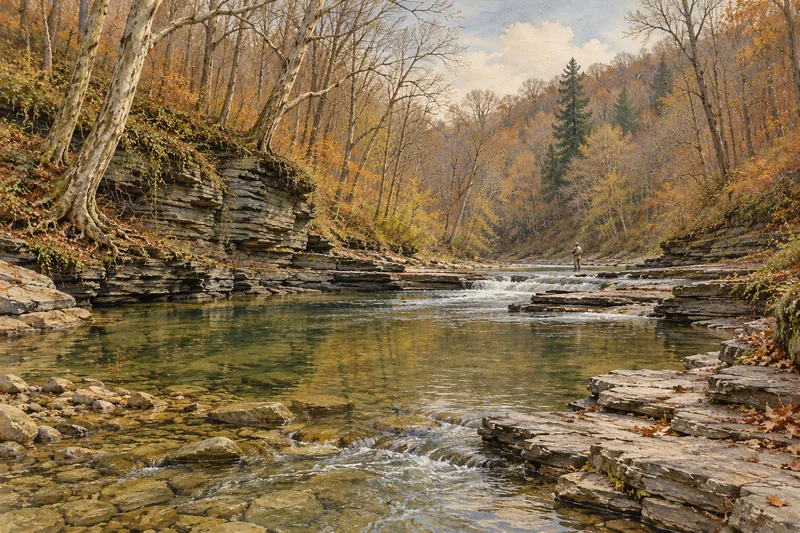 SteelheadSteelhead, lake-run brown trout
Fish on your own. Guide prices are optional; check licence, permit and access requirements before going.
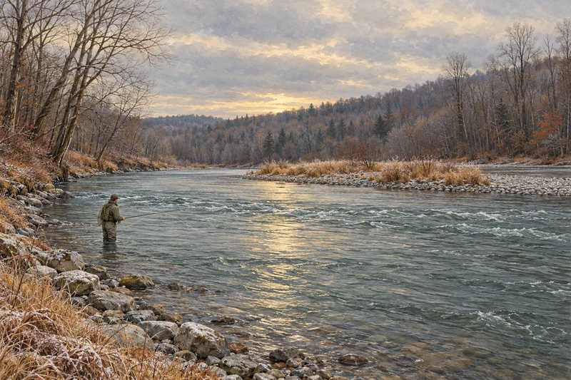 SteelheadSteelhead, chinook and coho salmon, lake-run browns
Fish on your own. Guide prices are optional; check licence, permit and access requirements before going.
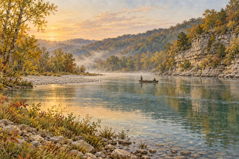
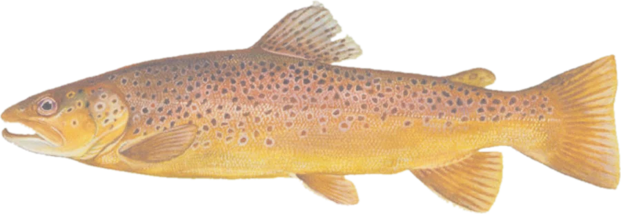 Brown troutBrown trout (including very large fish), rainbows, cutthroat, brook trout
Fish on your own. Guide prices are optional; check licence, permit and access requirements before going.
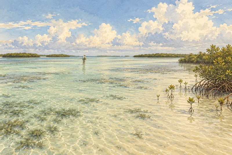
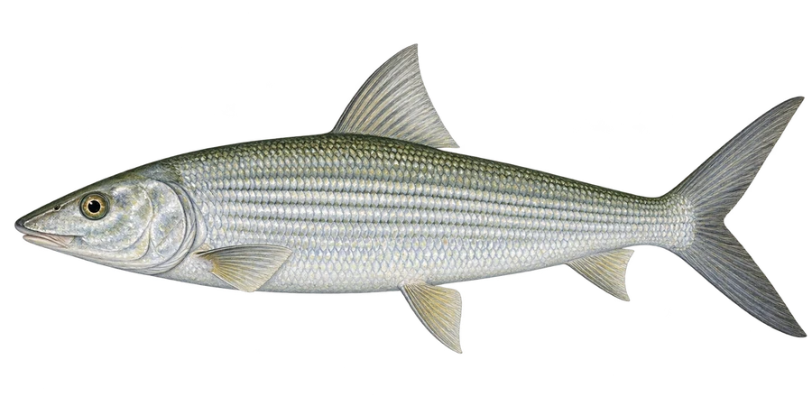 BonefishBonefish, permit, tarpon
Fish on your own. Guide prices are optional; check licence, permit and access requirements before going.
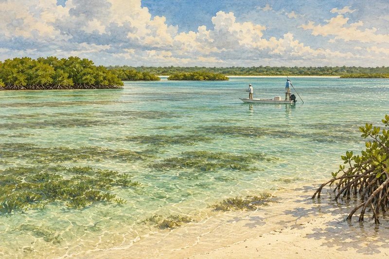
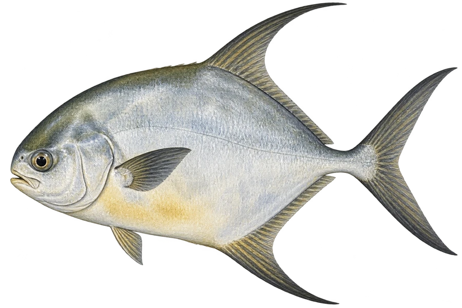 PermitPermit, bonefish, tarpon, snook
Fish on your own. Guide prices are optional; check licence, permit and access requirements before going.
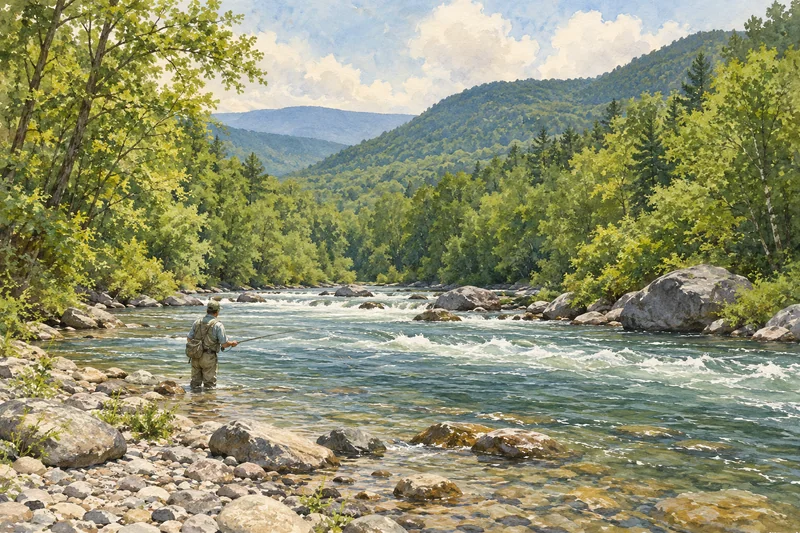
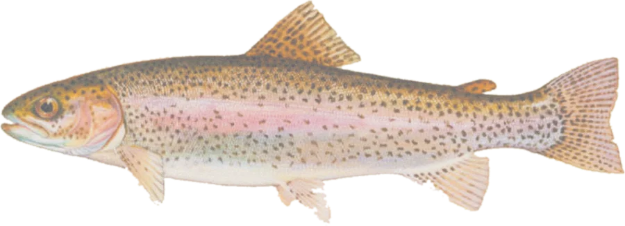 Rainbow troutWild rainbows, browns, native brook trout in the headwaters
Fish on your own. Guide prices are optional; check licence, permit and access requirements before going.
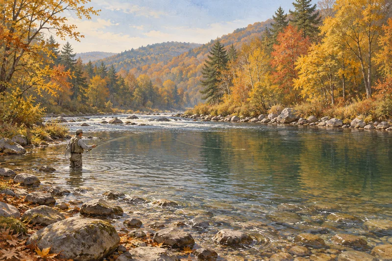 Brown troutWild and stocked browns, rainbows, brook trout
Fish on your own. Guide prices are optional; check licence, permit and access requirements before going.
Rainbow troutRainbow, brown and native brook troutTownsend, Tennessee / Bryson City, North Carolina · USA
Fly into TYS, 45 min
Fish on your own. Guide prices are optional; check licence, permit and access requirements before going.
Each checked spot has the agency page behind it, the parking or walk-in, and the rules. Most have no assessed season yet, so they are listed by state or by distance rather than by month. All 11,800+ public access points on trout water, checked or not, are on the map. Another 27,300+ on other rivers and lakes, including the Florida saltwater and bass maps, are one switch away.
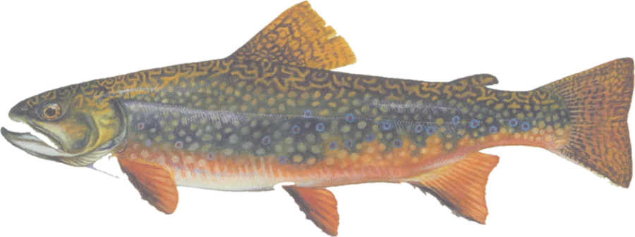
Fish on your own. Check licence, permit and posted rules before going.
Flow: no linked gauge · Fishability not assessed
Best: not assessed
Season: Not assessed. Recommended months have not been assessed for this water. Check current season dates.
Crowding: Not assessed.
Difficulty: Wading difficulty not assessed.
Flow: No suitable reference gauge has been reviewed for this reach. No local fishability threshold has been verified.
Species: DCNR/PFBC Class A layer lists Alder Run as 'Wild Brook Trout Fishery'. (survey; checked 2026-10-21) DCNR/PFBC Class A Streams layer (query near lot)
Permission: PAD-US and the PA Game Commission's game-land boundary put the lot and the bank on State Game Land 102, where fishing is a permitted use. Class A wild trout water (regular regs). State Game Land: wear fluorescent orange walking in Oct 1-Jan 31 and Apr 20-May 31 (fishing itself is exempt); expect hunters in season. Check current Pennsylvania trout regulations for this water.
Routes end at the sourced public access approach. No live opening-hour, emergency-closure or fish-availability check. Access sources checked 2026-10-21; research checked 2026-10-21.
OpenStreetMap parking featureRoute endpoint sourceOpenStreetMap parking lot used as the arrival — Alder RunPGC State Game Land parking areas (PASDA)PAD-US 4.1 at the lotPGC SGL boundary at the bankDCNR/PFBC Class A Streams layerPGC 2026-27 Hunting & Trapping Digest: fluorescent orange requirementsDCNR/PFBC Class A Streams layer (query near lot)OpenStreetMap parking lot used as the arrival — Alder RunPGC State Game Land parking areas (PASDA)Current fishing rulesAshland, Greene County, New York
Fish on your own. Check licence, permit and posted rules before going.
Flow: no linked gauge · Fishability not assessed
Best: not assessed
Season: Not assessed. Recommended months have not been assessed for this water. Check NYSDEC season dates for this reach.
Crowding: Not assessed.
Difficulty: Wading difficulty not assessed.
Flow: No suitable reference gauge has been reviewed for this reach. No local fishability threshold has been verified.
Species: DEC reach 2112 'From mouth upstream to County Route 56 bridge upstream of Peck Road' (stocked brown trout). (stocking record; checked 2026-10-19) NYSDEC Inland Trout Stream Fishing — reach records (stocked species) at this access
Permission: DEC Trout Stream Fishing Access layer shows two Batavia Kill PFR easement segments 20 m and 27 m from this DEC PFR parking area. PFR strip is fishing-only on private land (about 33 ft of bank); stay within signed PFR. Statewide trout: Apr 1-Oct 15 harvest; Oct 16-Mar 31 catch-and-release, artificial lures only. Check current NYSDEC trout regulations for this reach.
Routes end at the sourced public access approach. No live opening-hour, emergency-closure or fish-availability check. Access sources checked 2026-10-19; research checked 2026-10-19.
NYSDEC — What are Public Fishing Rights? (33 ft strip; right to fish and walk the bank; designated parking and marked footpaths)Route endpoint sourceNYSDEC Public Fishing Parking Area — Batavia KillNYSDEC Trout Stream Fishing Access (Public Fishing Rights and state-land banks) around this parkingNYSDEC Trout Stream Fishing Access (PFR / DEC-land stream segments) queryNYSDEC Region 4 Public Fishing Rights map (About Public Fishing Rights)NYSDEC Inland Trout Stream Fishing — reach records (stocked species) at this accessNYSDEC Public Fishing Parking Area — Batavia KillNYSDEC Trout Stream Fishing Access (Public Fishing Rights and state-land banks) around this parkingCurrent fishing rulesMount Clinton Road, Coos County, New Hampshire
Fish on your own. Check licence, permit and posted rules before going.
Flow: no linked gauge · Fishability not assessed
Best: not assessed
Walk: About 510 m one way from the parking to the water (map-derived estimate, not a surveyed path); reserve 1.1 km return. Walk source
Season: Not assessed. Recommended months have not been assessed for this water. Check current season dates.
Crowding: Not assessed.
Difficulty: Wading difficulty not assessed.
Flow: No suitable reference gauge has been reviewed for this reach. No local fishability threshold has been verified.
Species: NH Wildlife Action Plan 2020 maps wild Eastern brook trout as present (EBT='P') on Abenaki Brook; NHFG manages such streams as wild trout water. (survey; checked 2026-10-25) NH Wildlife Action Plan 2020 - wild Eastern brook trout streams layerNH Fish and Game - Wild Trout Management in NH
Permission: Fishing is allowed on White Mountain National Forest land under a NH fishing license and NH Fish and Game rules; this stretch is not listed as closed water. Mount Clinton Road is not maintained for winter travel. Check current New Hampshire trout regulations for this water.
Routes end at the sourced public access approach. No live opening-hour, emergency-closure or fish-availability check. Access sources checked 2026-10-25; research checked 2026-10-25.
WMNF - Edmands Path TrailheadRoute endpoint sourceOpenStreetMap parking lot used as the arrival — Abenaki BrookWMNF - Edmands Path TrailheadWMNF - FishingWMNF - Forest Roads StatusNH Freshwater Fishing Digest - Rivers & Streams with Special RulesNH Wildlife Action Plan 2020 - wild Eastern brook trout streams layerNH Fish and Game - Wild Trout Management in NHOpenStreetMap parking lot used as the arrival — Abenaki BrookWMNF - Edmands Path TrailheadWMNF - FishingCurrent fishing rulesGranby, Grand County, Colorado
Fish on your own. Check licence, permit and posted rules before going.
Flow: no linked gauge · Fishability not assessed
Best: not assessed
Season: Not assessed. Recommended months have not been assessed for this water. Check current season dates.
Crowding: Not assessed.
Difficulty: Wading difficulty not assessed.
Flow: No suitable reference gauge has been reviewed for this reach. No local fishability threshold has been verified.
Species: CPW Fishing Atlas species list for Arapaho Creek #1 (water code 19706): brown trout. (survey; checked 2026-10-25) CPW Fishing Atlas species list - Arapaho Creek #1
Permission: Arapaho National Recreation Area (Arapaho National Forest), open to public fishing with a Colorado license. CPW special regulation (Monarch Lake down to USFS 125): artificial flies and lures only; trout bag and possession limit two fish. Arapaho NRA day passes are required in its fee areas (Monarch Lake, Arapaho Bay); buy one to be safe. Day use sunrise to sunset. Check current Colorado trout regulations for this water.
Routes end at the sourced public access approach. No live opening-hour, emergency-closure or fish-availability check. Access sources checked 2026-10-25; research checked 2026-10-25.
USFS - Arapaho National Recreation AreaRoute endpoint sourceOpenStreetMap parking lot used as the arrival — Arapaho Creek #1USFS - Arapaho National Recreation AreaCPW Fishing Atlas - special regulation 21, Arapaho CreekCPW Fishing Atlas - Land Management (COMaP v10) layerCPW Fishing Atlas - current fishing closures / emergency regulations layerCPW Fishing Atlas species list - Arapaho Creek #1OpenStreetMap parking lot used as the arrival — Arapaho Creek #1USFS - Arapaho National Recreation AreaCurrent fishing rulesPlanner coverage & access gaps by state: PA · NY · NH · CO · NJ · ID · TN · WA · NC · MT · MA · OR · MD · VT · MI · WI · CT · WV · VA · WY · GA · MN · SC · OH
Every river and flat we compare, by region.
Best months: Nov–Apr for trout (stocking Dec–Feb); summer is mostly bass.
Best months: Nov–Apr; Jan–Feb dries, Mar–Apr big browns.
Best months: Nov–Apr; most rivers open Oct 1–Apr 30.
Fishing reports
The latest report from a local fly shop on each river, in one line.
All fishing reportsRead the latest from West Branch Angler Resort.
Read the shop’s reportRead the latest from Whitaker's Sport Store, Pulaski.
Read the shop’s reportRead the latest from Madison River Outfitters.
Read the shop’s reportIndependent. No outfitter or lodge pays to be listed or ranked. Guide prices checked through Oct 2026, each with the outfitter's own quote and a link. How we compare prices