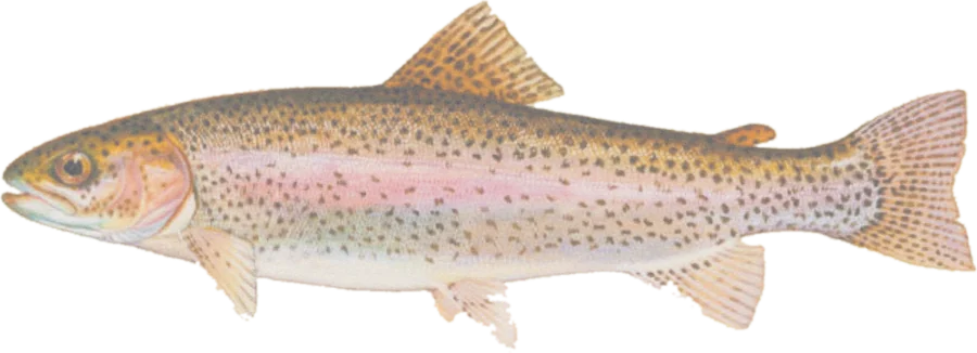
 Rainbow troutRainbow and brown trout
Fish on your own. Guide prices are optional; check licence, permit and access requirements before going.
JFMAMJJASOND
- Guide, per angler
- $313–338
- Public access
- Good
- Crowding
- High
Explore New Mexico’s Special Trout Waters and NMDGF trout management reaches (native Gila and Rio Grande cutthroat, wild and stocked trout), with public-land context, fishing access, boat ramps and river gauges.
Check before you fish. Access, stocking and regulations here come from New Mexico's own data and can be out of date. Posted signs and landowners' wishes come first, and private land needs permission. The rules that apply are in the NMDGF regulations for specific waters, and you need a valid fishing license.
Bold where the stream crosses public land; faint and dashed across private land. Gauges are measurement stations; a nearby gauge may be on a different stream.
Stream types · New Mexico
Bold where the stream crosses public land
Rainbow troutRainbow and brown troutFish on your own. Guide prices are optional; check licence, permit and access requirements before going.
Special Trout Waters are New Mexico’s designated sections (Red, Green and Xmas Chile waters) with their own tackle and harvest rules, including the San Juan quality water below Navajo Dam. Each section’s rule, as published by NMDGF, appears in its details.
Native, wild and stocked trout come from NMDGF’s fish management plan waters: stream reaches with the trout species present and how each is managed (native fish, wild, put-and-take or put-grow-and-take stocking). NMDGF publishes these reaches as narrow outlines around the streams, so the lines drawn here are USGS 3DHP stream centerlines inside each outline. A reach can carry several categories.
Management categories describe how NMDGF manages a reach, not current abundance, stocking dates or an open season. Lakes and ponds are omitted. Check the weekly fishing report, seasonal closures and the regulations for specific waters before fishing.
Highlighted banks adjoin mapped open-access public land, with a roughly 20-meter bank tolerance. Dimmed water has no adjacent open-access parcel recorded in this source. Neither determines legal entry, rights of way or permission to cross private land. Check signs, property rules and the current fishing regulations.
Access markers are source facility locations within about 800 meters of mapped water, not verified parking spaces or guaranteed entry to a particular reach. River-gauge readings describe the gauged location; a nearby gauge on another stream is shown as context.