Light map in dark modeEasier to read in sunshine, and rivers stay visible.
Layers
2 rainbows under 14 in
2 trout, 1 over 14 in
2 trout, release over 14 in
Trout water (statewide limits)
Winter trout (Nov–Apr)
Bold where the stream crosses public land; faint and dashed across private land. Gauges are measurement stations; a nearby gauge may be on a different stream.
Stream types · Arkansas
2 rainbows under 14 in
2 trout, 1 over 14 in
2 trout, release over 14 in
Trout water (statewide limits)
Winter trout (Nov–Apr)
Public land
Bold where the stream crosses public land
Legend & map details
2 rainbows under 14 in2 trout, 1 over 14 in2 trout, release over 14 inTrout water (statewide limits)Winter trout (Nov–Apr)Not public landPublic landFishing accessLaunchRiver gauge, conditions today: good fair poor no verdict; a group takes its worst gauge's colorRiver gauge, flow for the date: low below normal above high no reading
Year-round; caddis Mar–May, sulphurs late May–Jun, fall and winter streamers for big browns Wrong?
The water
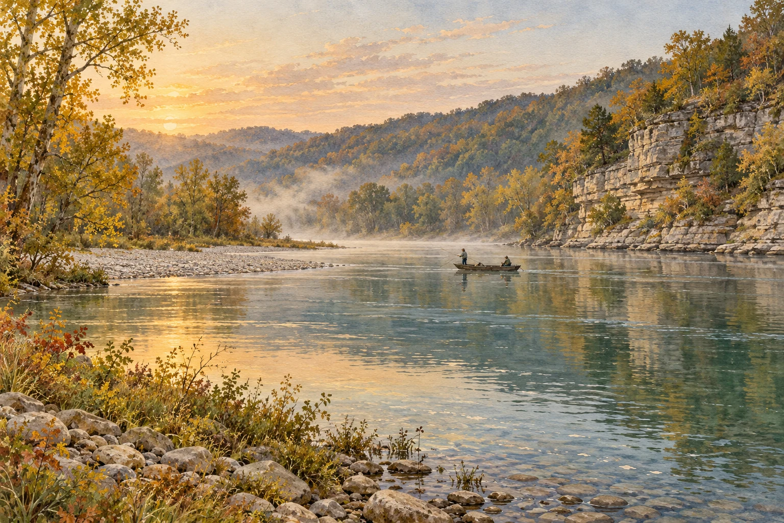
Two cold tailwaters below Bull Shoals and Norfork dams, best known for large brown trout. Flows swing with power generation, so most guiding is from motorized jon boats and wading is limited to low-water periods.
Target species
Brown trout (including very large fish), rainbows, cutthroat, brook trout
Fishing licenseRegulationsA trout permit is needed on top of the Arkansas license to fish the Bull Shoals and Norfork tailwaters. Since Feb 1, 2026 (hatchery shortage), only two rainbows under 14 in may be kept above Norfork Access and all browns, cutthroat and brook trout must be released; the Bull Shoals and Norfork catch-and-release areas are artificial lures, barbless hooks only, and the water just below Bull Shoals Dam is closed Nov 1–Jan 31.Wrong?
What a trip costs
You came from a self-guided day-trip search. The calculator starts with one fishing day and no guide. Licence, permit, travel and any other costs still apply.
These are the businesses this page's prices and fly lists come from. A listing isn't an endorsement, and nobody pays to be here.
Getting there
Getting there
Fly into SGF Springfield, then 2.5–3 hr (XNA Northwest Arkansas about 3 hr; LIT Little Rock about 3 hr). About 125 miles (201 km) by road. Marker on the White River at Cotter; Bull Shoals Dam is about 25 river miles upstream, and the Norfork joins at Norfork, about 20 miles downstream.
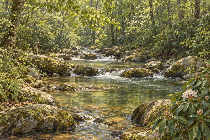
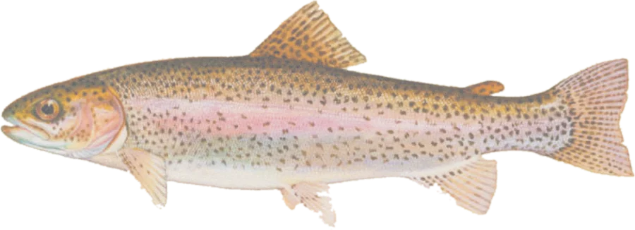 Rainbow troutRainbow, brown and native brook trout
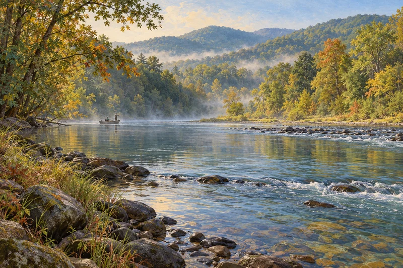
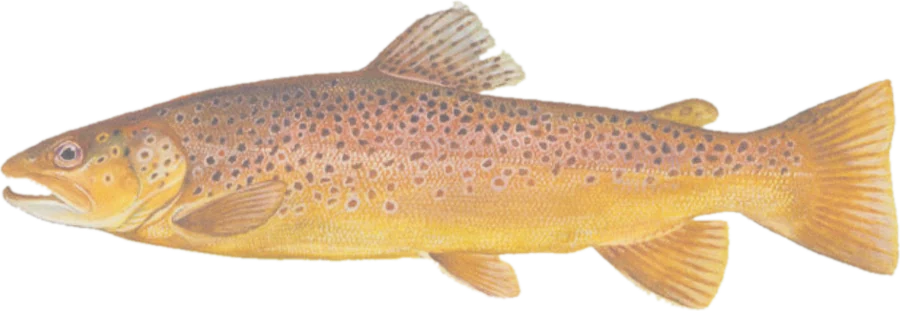 Brown trout