Light map in dark modeEasier to read in sunshine, and rivers stay visible.
Layers
Guadalupe Zone 1 (slot limit)
Guadalupe Zone 2 (18-inch minimum)
River and tailrace stocking sites
Lakes and ponds stocked
Bold where the stream crosses public land; faint and dashed across private land. Gauges are measurement stations; a nearby gauge may be on a different stream.
Stream types · Texas
Guadalupe Zone 1 (slot limit)
Guadalupe Zone 2 (18-inch minimum)
River and tailrace stocking sites
Lakes and ponds stocked
Public land
Bold where the stream crosses public land
Legend & map details
Guadalupe Zone 1 (slot limit)Guadalupe Zone 2 (18-inch minimum)River and tailrace stocking sitesLakes and ponds stockedNot public landPublic landFishing accessLaunchRiver gauge, conditions today: good fair poor no verdict; a group takes its worst gauge's colorRiver gauge, flow for the date: low below normal above high no reading
Nov–Apr for trout (stocking Dec–Feb); summer is mostly bass Wrong?
The water
Cold bottom releases from Canyon Lake let Texas Parks & Wildlife stock rainbows each winter, and some hold over year-round. The banks are mostly private, so most anglers float or pay for access at campgrounds and leases.
Target species
Stocked rainbow trout, some brown trout; Guadalupe bass in summer
Fishing licenseRegulationsTexas license must include the freshwater endorsement (the non-resident Freshwater Package and One-Day All-Water license cover it). Two special trout zones, artificial lures only: Zone 1 (800 yd below Canyon Dam to the east FM 306 bridge) has a 12–18 in. slot, 5 fish, only one over 18 in.; Zone 2 (to the second River Road crossing) is 18 in. minimum, 1 fish.Wrong?
What a trip costs
You came from a self-guided day-trip search. The calculator starts with one fishing day and no guide. Licence, permit, travel and any other costs still apply.
These are the businesses this page's prices and fly lists come from. A listing isn't an endorsement, and nobody pays to be here.
Getting there
Getting there
Fly into SAT San Antonio, then 1 hr (AUS Austin 1 hr). About 36 miles (58 km) by road. Marker near Third Crossing in the trout zones, which run from 800 yards below Canyon Dam down past New Braunfels' River Road crossings.
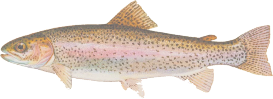 Rainbow troutRainbow, brown and native brook trout
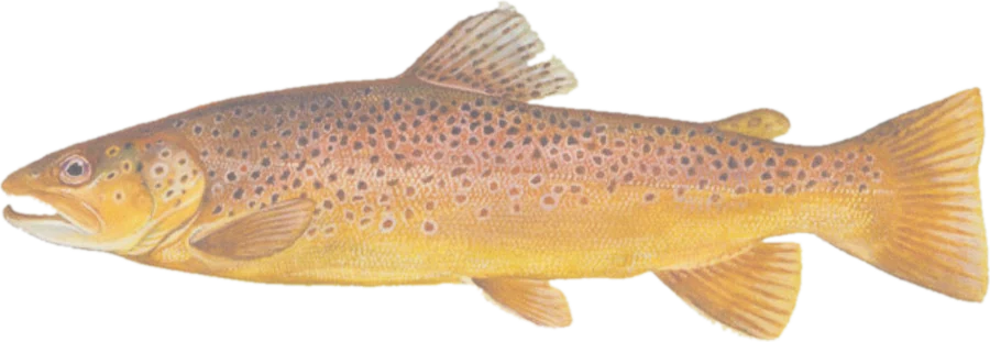 Brown trout