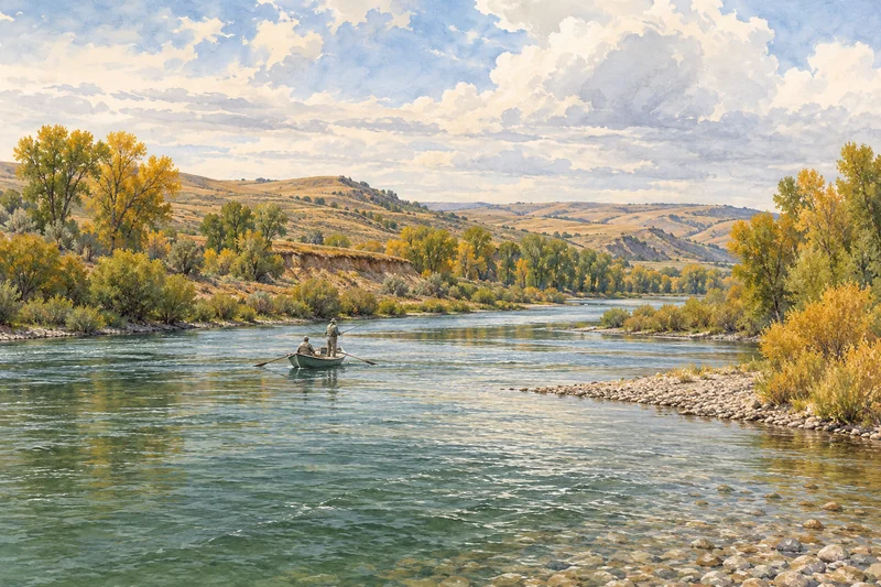
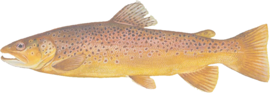
 Brown troutBrown and rainbow trout
Fish on your own. Guide prices are optional; check licence, permit and access requirements before going.
JFMAMJJASOND
- Guide, per angler
- $363
- Public access
- Moderate
- Crowding
- Medium
Find cutthroat, redband, rainbow, brown and brook trout streams using Montana FWP’s fish-distribution data. Explore public land along the water, fishing access sites, boat ramps and river gauges.
Stream access in Montana. The highlights show mapped public land along the stream. Montana’s stream-access law can also allow recreation up to the ordinary high-water mark after legal access is gained. A dimmed line does not establish that fishing is prohibited. Read FWP’s stream-access guidance and check current closures and restrictions before your trip.
Check before you fish. Access, stocking and regulations here come from Montana's own data and can be out of date. Posted signs and landowners' wishes come first, and private land needs permission. The rules that apply are in the Montana FWP fishing regulations, and you need a valid fishing license.
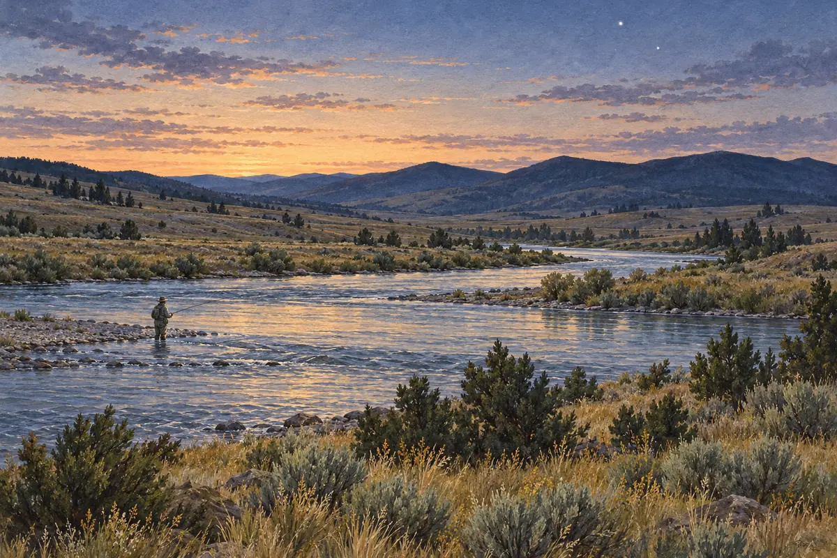
Bold where the stream crosses public land; faint and dashed across private land. Gauges are measurement stations; a nearby gauge may be on a different stream.
Stream types · Montana
Bold where the stream crosses public land
Brown troutBrown and rainbow troutFish on your own. Guide prices are optional; check licence, permit and access requirements before going.
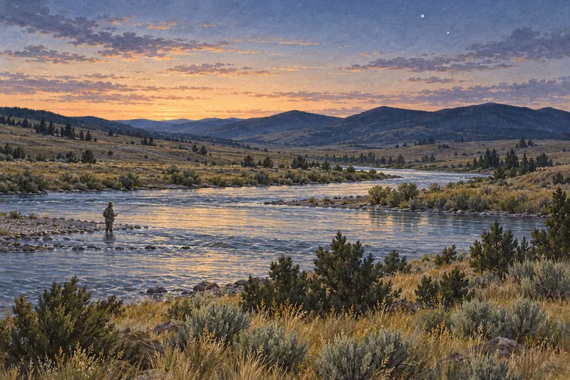
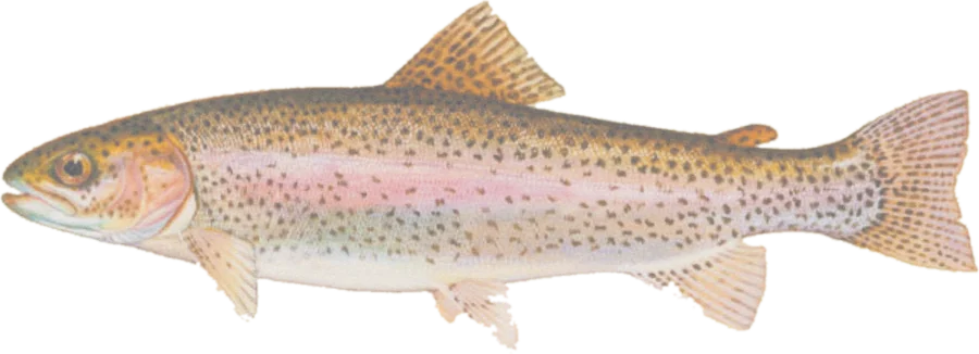 Rainbow troutRainbow and brown trout
Fish on your own. Guide prices are optional; check licence, permit and access requirements before going.
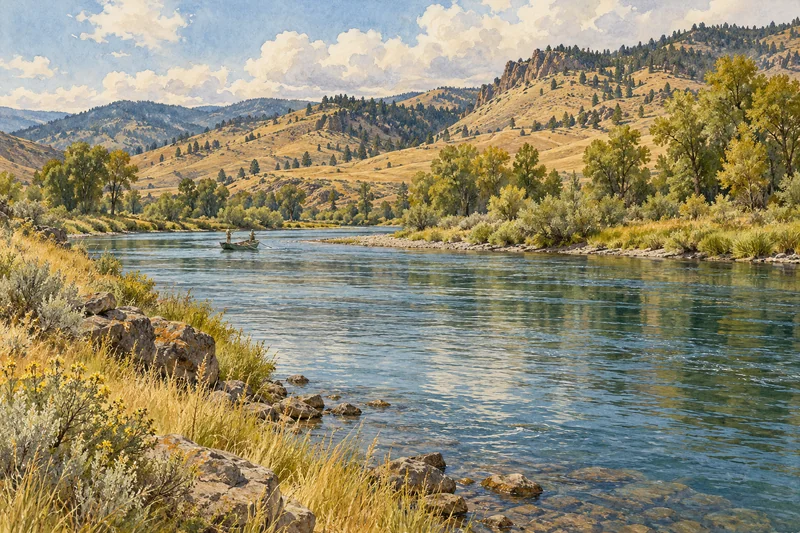 Rainbow troutRainbow and brown trout
Fish on your own. Guide prices are optional; check licence, permit and access requirements before going.
Species layers show FWP records of fish presence, including surveyed and extrapolated distribution. They do not establish abundance, recent stocking or permission to fish. Where species overlap, the top layer’s color appears; turn layers off to inspect the others. Cutthroat includes westslope and Yellowstone cutthroat; redband is shown separately, and trout hybrids have an optional layer. This map does not include every Montana fish species.
Highlighted stretches run through or within about 20 meters of open-access public land in USGS PAD-US, or an FWP Fishing Access Site boundary. Dimmed stretches have no adjacent open-access parcel recorded in these sources. Land ownership is separate from legal stream access: the map does not determine high-water marks, rights of way or tribal access rules.
Streams sharing a name appear separately when FWP assigns them different waterbody identifiers. County filters help distinguish them. The distribution data uses generalized stream lines, so access sites can be offset from the line; site links provide facility details and maps. Access points are site locations, not verified parking coordinates.
Follow the current FWP fishing regulations, including water-specific exceptions. Species presence does not mean a fish may be targeted or kept. Check closures and any site-specific permits or restrictions.
Spot something wrong? Tell us.