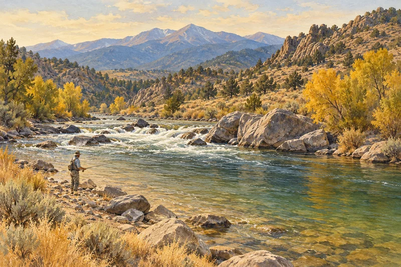
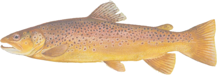
 Brown troutBrown and rainbow trout
Fish on your own. Guide prices are optional; check licence, permit and access requirements before going.
JFMAMJJASOND
- Guide, per angler
- $375
- Public access
- Good
- Crowding
- Medium
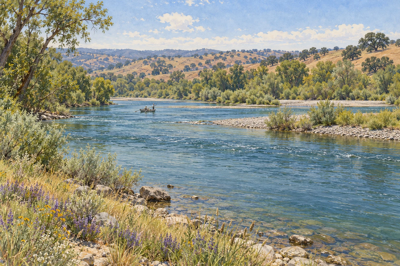
Redding, California (Keswick Dam to Red Bluff) · USA
Dam-controlled river. Flow here follows releases upstream, so it can change within hours. Check the release schedule before you drive.
Forecast data loads here when available. Official weather source ↗
Day ratings weigh rain first (it raises and colors the river), then wind.
Flow: USGS Sacramento R A Keswick CA, USGS Sacramento R AB Bend Bridge NR Red Bluff CA. Recent readings are provisional. Normal range: the middle half of past flows for these dates. Forecast: National Weather Service.
Year-round; Mar–May caddis hatches, Sep–Nov salmon egg bite Wrong?
A large, cold tailwater below Shasta and Keswick dams that runs through the middle of Redding and holds wild rainbows year-round. Most fishing is nymphing from drift boats; wading works mainly at lower flows.
You came from a self-guided day-trip search. The calculator starts with one fishing day and no guide. Licence, permit, travel and any other costs still apply.
These are the businesses this page's prices and fly lists come from. A listing isn't an endorsement, and nobody pays to be here.
Fly into RDD Redding, then 15 min (SMF Sacramento 2.5 hr). About 9 miles (15 km) by road. Marker on the river in Redding; guided drifts run downstream through Anderson toward Red Bluff.
Open in Google Maps · Directions from RDD
Driving from Sacramento about 3 hr, San Francisco about 4 hr 10 min.
Rates, seasons and access change. Tell us what's wrong and, if you can, where you saw it.
Brown troutBrown and rainbow troutFish on your own. Guide prices are optional; check licence, permit and access requirements before going.
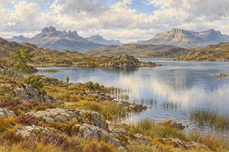 Brown troutWild brown trout
Lochinver and Assynt, Scottish Highlands, Scotland · United Kingdom
Fly into INV, 2–2.5 hr
Fish on your own. Guide prices are optional; check licence, permit and access requirements before going.
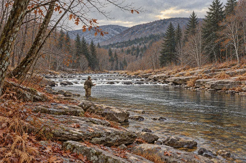 Brown troutBrown, rainbow and brook trout
Fish on your own. Guide prices are optional; check licence, permit and access requirements before going.