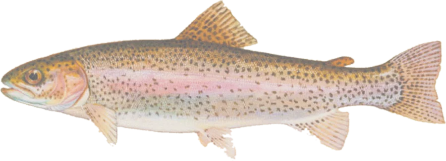
 Rainbow troutWild rainbow trout, steelhead
Fish on your own. Guide prices are optional; check licence, permit and access requirements before going.
JFMAMJJASOND
- Guide, per angler
- $300–325
- Public access
- Moderate
- Crowding
- Medium
Explore California’s designated Heritage and Wild Trout waters as their published area footprints, with boundary descriptions, public-land context, nearby facilities and gauges.
Check before you fish. Access, stocking and regulations here come from California's own data and can be out of date. Posted signs and landowners' wishes come first, and private land needs permission. The rules that apply are in the California inland fishing rules, and you need a valid fishing license.
Bold where the stream crosses public land; faint and dashed across private land. Gauges are measurement stations; a nearby gauge may be on a different stream.
Stream types · California
Bold where the stream crosses public land
Rainbow troutWild rainbow trout, steelheadFish on your own. Guide prices are optional; check licence, permit and access requirements before going.
The CDFW GIS represents designated river corridors, lakes and other waters as areas. The map preserves those footprints; it does not infer river centerlines or treat an area as stream mileage. Read each designation’s boundary description, including excluded tributaries or private property. The GIS footprint is illustrative and is not a legal boundary survey.
Heritage Trout waters are distinguished from other Wild Trout designations using CDFW’s heritage identifiers. This is a selected program inventory, not every California trout fishery, a species-abundance survey or a current stocking report. Fishing seasons and exceptions must be checked separately.
Listed acreage measures the designation footprint and its overlap with open-access public land, using California Albers. Access markers are Forest Service fishing and boating sites within or near the footprint; they do not guarantee access to a particular stream or lake. Closed/decommissioned facilities are excluded where recorded. Gauges are shown as location context; flow readings are not assigned to designation areas.
Designation footprints retain the agency’s area geometry. Darker portions overlap mapped open-access public land; neither the footprint nor the overlap determines legal entry, fishing seasons or permission to cross private land. Use the boundary description and current rules.
Access markers are source facility locations within about 800 meters of mapped water, not verified parking spaces or guaranteed entry to a particular reach. River-gauge readings describe the gauged location; a nearby gauge on another stream is shown as context.