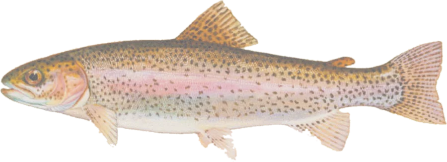
 Rainbow troutRainbow, brown, cutthroat trout
Fish on your own. Guide prices are optional; check licence, permit and access requirements before going.
JFMAMJJASOND
- Guide, per angler
- $350
- Public access
- Good
- Crowding
- High
Explore Utah’s designated Blue Ribbon river sections, including the Green, Provo, Logan and Weber, with public-land context, nearby facilities and river gauges.
Check before you fish. Access, stocking and regulations here come from Utah's own data and can be out of date. Posted signs and landowners' wishes come first, and private land needs permission. The rules that apply are in the Utah fishing guidebooks, and you need a valid fishing license.
Categories from Utah Blue Ribbon fisheries. Bold where the stream crosses public land; faint and dashed across private land. Gauges are measurement stations; a nearby gauge may be on a different stream.
Stream types · Utah
Bold where the stream crosses public land
Rainbow troutRainbow, brown, cutthroat troutFish on your own. Guide prices are optional; check licence, permit and access requirements before going.
River sections come from the published Utah Division of Wildlife Resources Blue Ribbon GIS view. Its metadata says the geometry was last updated in November 2021. Blue Ribbon designation recognizes selected fishing experiences; it is not a complete trout inventory, a current stocking report or a harvest rule. Lake polygons are omitted from this river map.
Facility markers are Forest Service fishing and boating sites near mapped sections. Sites marked closed or decommissioned are excluded when downloaded. This is a partial access inventory; use Fish Utah and site information to plan a visit.
Mapped designation does not grant access across private land. Check current Utah stream-access guidance, posted restrictions, fishing rules and dam-release schedules before visiting tailwaters.
Highlighted banks adjoin mapped open-access public land, with a roughly 20-meter bank tolerance. Dimmed water has no adjacent open-access parcel recorded in this source. Neither determines legal entry, rights of way or permission to cross private land. Check signs, property rules and the current fishing regulations.
Access markers are source facility locations within about 800 meters of mapped water, not verified parking spaces or guaranteed entry to a particular reach. River-gauge readings describe the gauged location; a nearby gauge on another stream is shown as context.