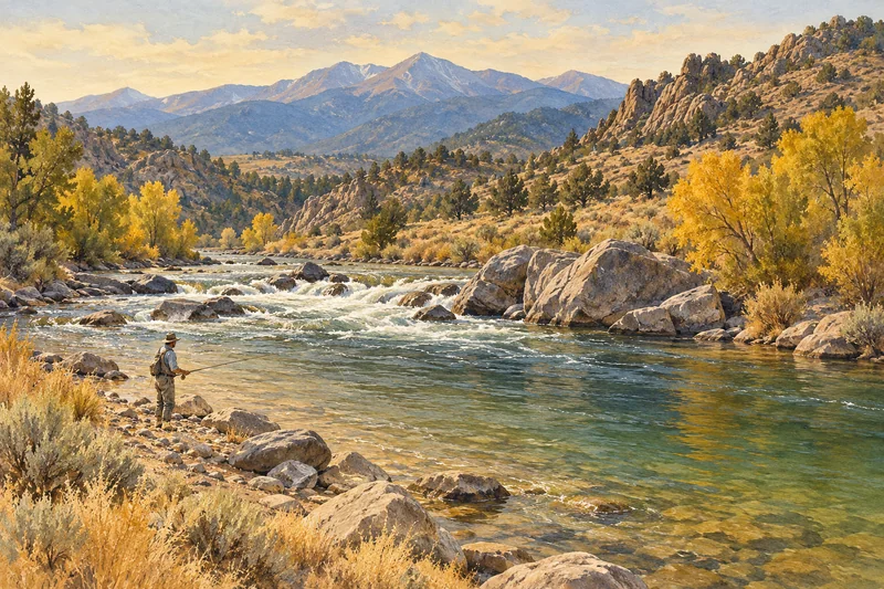
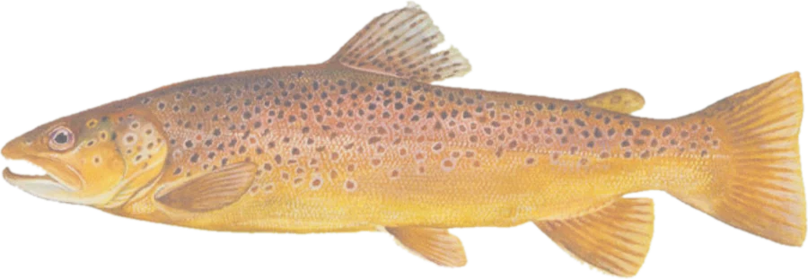
 Brown troutBrown and rainbow trout
Fish on your own. Guide prices are optional; check licence, permit and access requirements before going.
JFMAMJJASOND
- Guide, per angler
- $375
- Public access
- Good
- Crowding
- Medium
Explore CPW’s recommended trout waters and Gold Medal stream sections. Find mapped public land, fishing locations, boat ramps and river gauges.
Plan your access. Highlighted stretches adjoin mapped open-access public land; they do not establish a legal route to the water. Gold Medal designation does not make private land public. Check property rules, permits, signs and the current CPW regulations.
Check before you fish. Access, stocking and regulations here come from Colorado's own data and can be out of date. Posted signs and landowners' wishes come first, and private land needs permission. The rules that apply are in the Colorado CPW fishing regulations, and you need a valid fishing license.
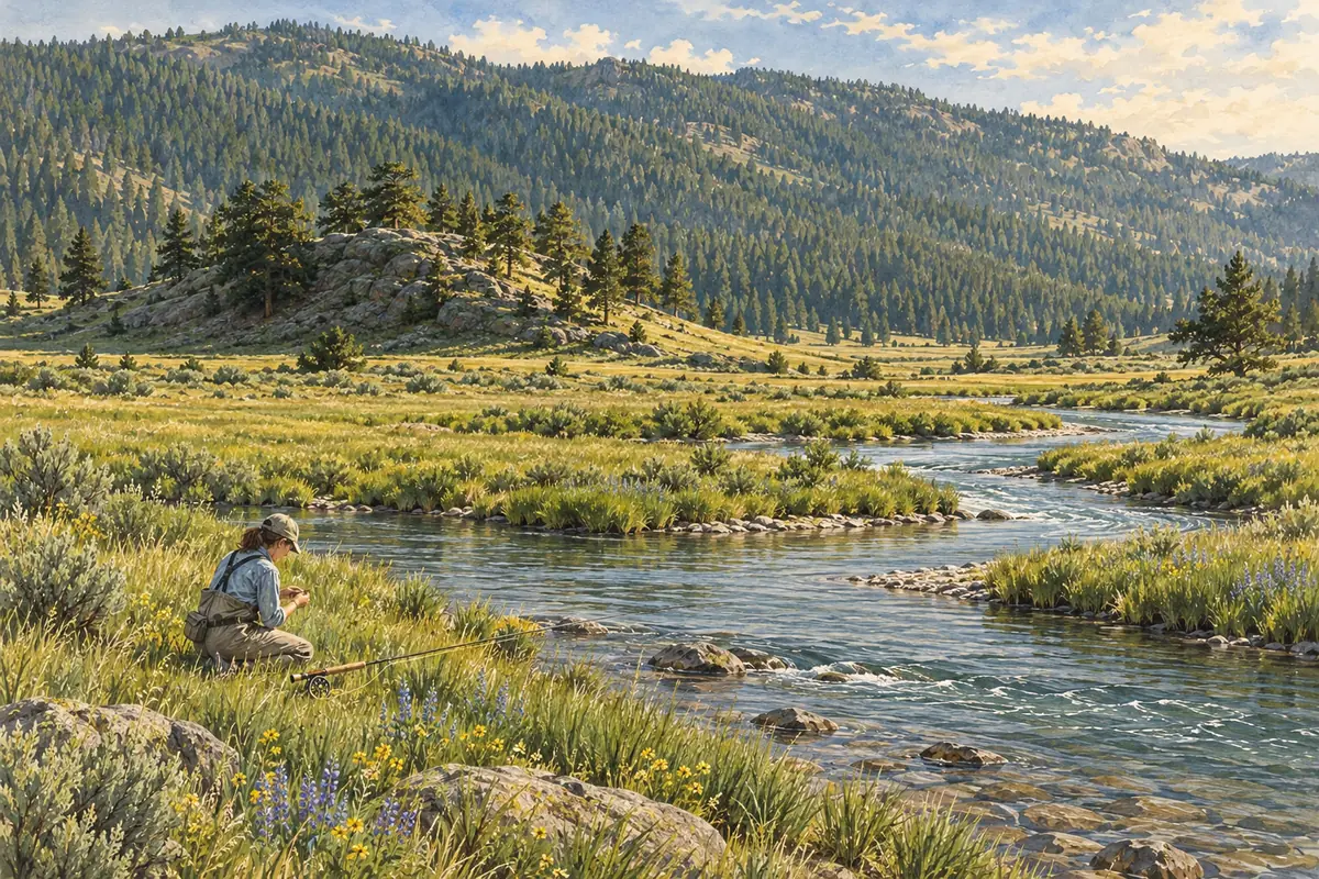
Bold where the stream crosses public land; faint and dashed across private land. Gauges are measurement stations; a nearby gauge may be on a different stream.
Stream types · Colorado
Bold where the stream crosses public land
Brown troutBrown and rainbow troutFish on your own. Guide prices are optional; check licence, permit and access requirements before going.
Recommended trout water is a selection of river centerlines marked for trout fishing in the Colorado Fishing Atlas. It is not a complete inventory of Colorado trout habitat. Gold Medal uses CPW’s separately maintained stream-section layer. A river can have separate entries for recommended water and its Gold Medal sections.
Public-land highlights use open-access fee-owned parcels in USGS PAD-US and CPW’s publicly accessible managed properties, with a roughly 20-meter bank tolerance. Property admission requirements, seasonal closures and access restrictions still apply. Dimmed water has no adjacent open-access parcel recorded in these sources.
Fishing locations come from the state atlas; they indicate fishing destinations, not verified parking spaces. Boat ramps near mapped water are also included. Some source geometry and facility links are older than the download date; check the linked site information before travel. Water-specific rules are linked rather than inferred from a map category.