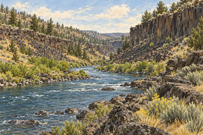
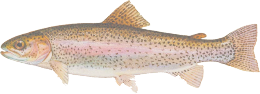
 Rainbow troutRedband trout, summer steelhead
Fish on your own. Guide prices are optional; check licence, permit and access requirements before going.
JFMAMJJASOND
- Guide, per angler
- $325
- Public access
- Moderate
- Crowding
- Medium
Explore Oregon’s mapped trout habitat by species, with optional summer and winter steelhead habitat, public-land context, nearby facilities and river gauges.
Check before you fish. Access, stocking and regulations here come from Oregon's own data and can be out of date. Posted signs and landowners' wishes come first, and private land needs permission. The rules that apply are in the Oregon fishing rules and regulation updates, and you need a valid fishing license.
See every OR water and its planner coverage · Plan a self-guided trip
Bold where the stream crosses public land; faint and dashed across private land. Gauges are measurement stations; a nearby gauge may be on a different stream.
Stream types · Oregon
Bold where the stream crosses public land
Rainbow troutRedband trout, summer steelheadFish on your own. Guide prices are optional; check licence, permit and access requirements before going.
Habitat lines come from Oregon Department of Fish and Wildlife’s published distribution datasets. Named reaches are retained; records marked Historical are excluded. Evidence includes observations and professional judgment, with revision dates in section details. The map does not confirm present abundance, recent stocking or an open fishery.
Cutthroat combines coastal, Lahontan and westslope records; section notes identify the source species. Summer and winter steelhead are combined in an optional layer. Lake polygons and bull-trout habitat are omitted. Coverage is incomplete, especially for non-native species. Connected source reaches with the same name are grouped; their actual mapped extents are retained.
Nearby facilities are Forest Service fishing and boating sites, excluding records marked closed or decommissioned at download. They are a partial access inventory. Check current ODFW rules, in-season changes and site restrictions before visiting.
Highlighted banks adjoin mapped open-access public land, with a roughly 20-meter bank tolerance. Dimmed water has no adjacent open-access parcel recorded in this source. Neither determines legal entry, rights of way or permission to cross private land. Check signs, property rules and the current fishing regulations.
Access markers are source facility locations within about 800 meters of mapped water, not verified parking spaces or guaranteed entry to a particular reach. River-gauge readings describe the gauged location; a nearby gauge on another stream is shown as context.