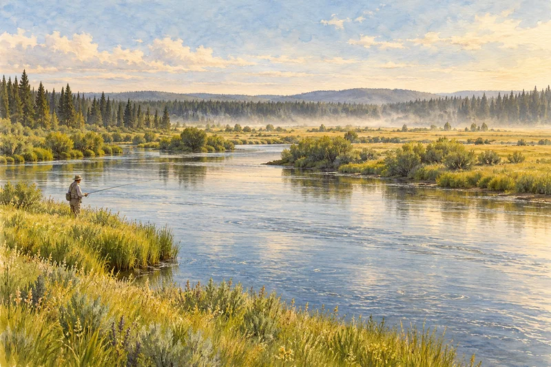
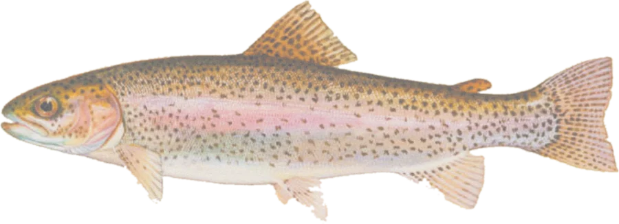
 Rainbow troutRainbow, brown, brook and cutthroat trout
Fish on your own. Guide prices are optional; check licence, permit and access requirements before going.
JFMAMJJASOND
- Guide, per angler
- $398–425
- Public access
- Good
- Crowding
- Medium
Find streams with trout observations recorded by Idaho Fish and Game. Explore public-land context, active fishing access sites, boat ramps and river gauges.
Land ownership and stream access differ. Highlights show adjacent mapped open-access public land. They do not determine navigability, high-water marks or a legal route to the water. Read the access guidance and water-specific rules in the current IDFG regulations.
Check before you fish. Access, stocking and regulations here come from Idaho's own data and can be out of date. Posted signs and landowners' wishes come first, and private land needs permission. The rules that apply are in the Idaho fishing seasons and rules, and you need a valid fishing license.
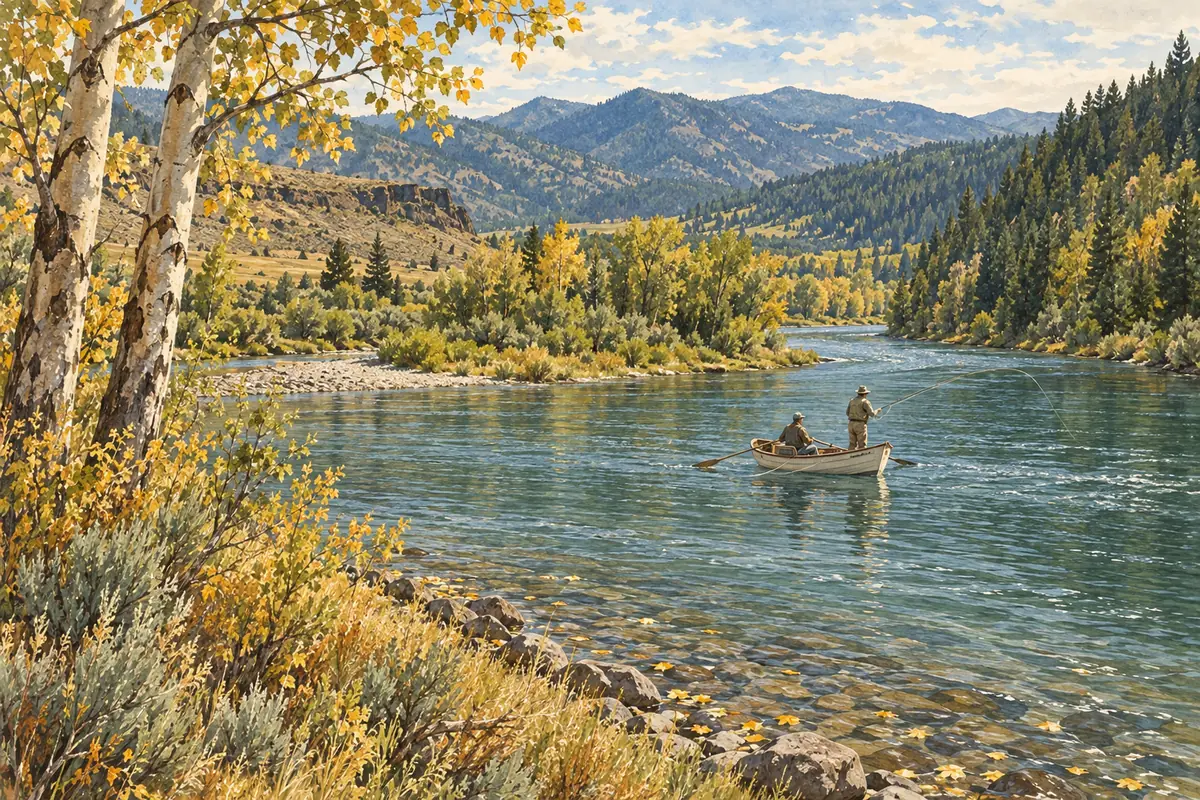
Bold where the stream crosses public land; faint and dashed across private land. Gauges are measurement stations; a nearby gauge may be on a different stream.
Stream types · Idaho
Bold where the stream crosses public land
Rainbow troutRainbow, brown, brook and cutthroat troutFish on your own. Guide prices are optional; check licence, permit and access requirements before going.
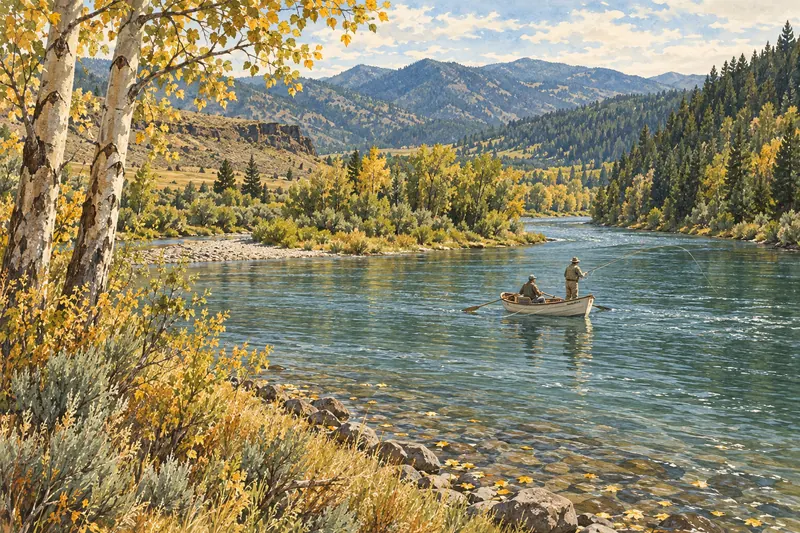
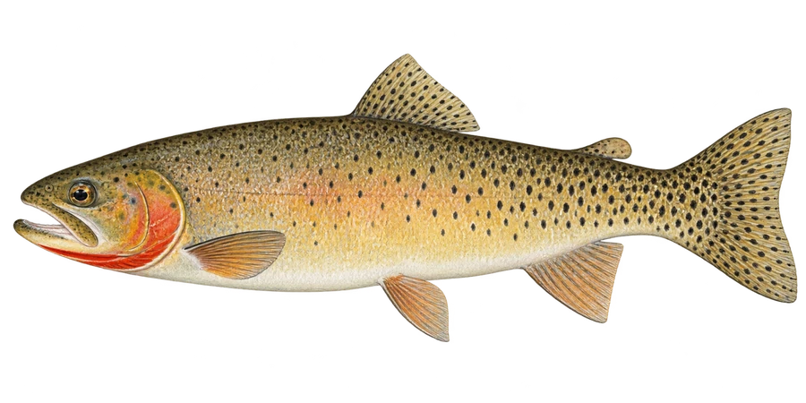 Cutthroat troutFine-spotted cutthroat, browns, rainbows
Fish on your own. Guide prices are optional; check licence, permit and access requirements before going.
Species filters use historical observed-species records from the IDFG Fishing Planner, joined to official river geometry by waterbody identifier. A record applies to a waterbody, not necessarily every reach shown. It does not establish present-day abundance, current stocking or permission to target or keep a fish. Cutthroat combines Bonneville, Snake River fine-spotted, westslope and Yellowstone cutthroat. Steelhead is an optional layer; check current seasons and closures.
Public-land highlights use USGS PAD-US open-access fee-owned parcels, with a roughly 20-meter bank tolerance. Dimmed water has no adjacent open-access parcel recorded in that source. Easements, rights of way, tribal rules and Idaho’s navigable-stream access rules are separate from this overlay.
Access sites are active facilities managed or co-managed by IDFG within about 800 meters of mapped water. Closed and inactive records are excluded. These are facility locations, not verified parking coordinates; nearby sites may serve a different stretch of water. Each stream links to its official Fishing Planner page for water-specific rules, facilities and stocking history.