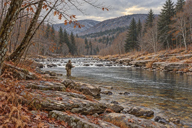
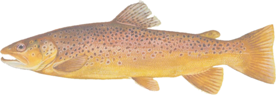
 Brown troutBrown, rainbow and brook trout
Fish on your own. Guide prices are optional; check licence, permit and access requirements before going.
JFMAMJJASOND
- Guide, per angler
- $225–263
- Public access
- Good
- Crowding
- Medium
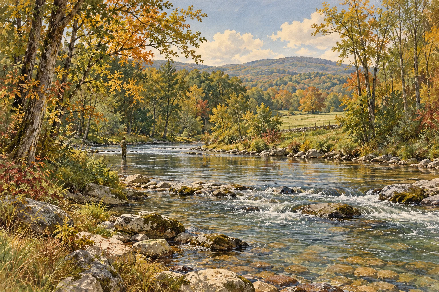
Hackettstown to Bloomsbury, New Jersey · USA
Forecast data loads here when available. Official weather source ↗
Day ratings weigh rain first (it raises and colors the river), then wind.
Flow: USGS Musconetcong River near Bloomsbury, USGS Musconetcong River at outlet of Lake Hopatcong. Recent readings are provisional. Normal range: the middle half of past flows for these dates. Forecast: National Weather Service.
Apr–Jun and Oct–Nov; the lower river holds trout all year Wrong?
Below Changewater, limestone groundwater keeps the river cool enough to hold trout all year, and the Point Mountain trout conservation area below Penwell is the best-known stretch. Upstream of Changewater it is seasonal water that warms in summer.
You came from a self-guided day-trip search. The calculator starts with one fishing day and no guide. Licence, permit, travel and any other costs still apply.
From fishingreports.orvis.com. Guides usually supply rods and flies on a guided day; ask when you book.
These are the businesses this page's prices and fly lists come from. A listing isn't an endorsement, and nobody pays to be here.
Fly into EWR Newark, then 1 hr. About 56 miles (90 km) by road. Marker at Penwell, the upstream end of the Point Mountain trout conservation area
Open in Google Maps · Directions from EWR
Driving from Allentown about 1 hr, New York City about 1 hr 30 min, Scranton about 1 hr 40 min, Philadelphia about 1 hr 50 min.
Rates, seasons and access change. Tell us what's wrong and, if you can, where you saw it.
Brown troutBrown, rainbow and brook troutFish on your own. Guide prices are optional; check licence, permit and access requirements before going.
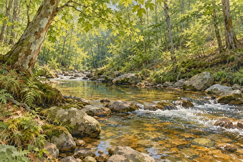
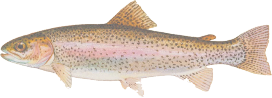 Rainbow troutStocked rainbows, browns and brook trout; some wild brook and brown trout
Fish on your own. Guide prices are optional; check licence, permit and access requirements before going.
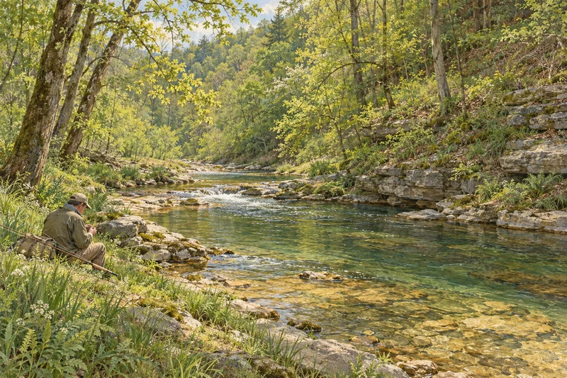 Brown troutWild brown trout, rainbows, brook trout
Fish on your own. Guide prices are optional; check licence, permit and access requirements before going.