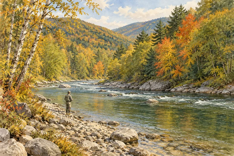
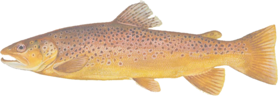
 Brown troutBrown, rainbow and brook trout
Fish on your own. Guide prices are optional; check licence, permit and access requirements before going.
JFMAMJJASOND
- Guide, per angler
- $238–300
- Public access
- Good
- Crowding
- Medium
The catch-and-release areas, the streams MassWildlife stocks and the coldwater streams where trout reproduce, with the stretches that run through public land highlighted, plus fishing access, parking and the date each stream was last stocked this season.
Check before you fish. Access, stocking and regulations here come from Massachusetts's own data and can be out of date. Posted signs and landowners' wishes come first, and private land needs permission. The rules that apply are in the MassWildlife freshwater fishing regulations, and you need a valid fishing license.
See every MA water and its planner coverage · Plan a self-guided trip
Categories from MassWildlife catch-and-release areas. Bold where the stream crosses public land; faint and dashed across private land. Gauges are measurement stations; a nearby gauge may be on a different stream.
Stream types · Massachusetts
Bold where the stream crosses public land
Brown troutBrown, rainbow and brook troutFish on your own. Guide prices are optional; check licence, permit and access requirements before going.
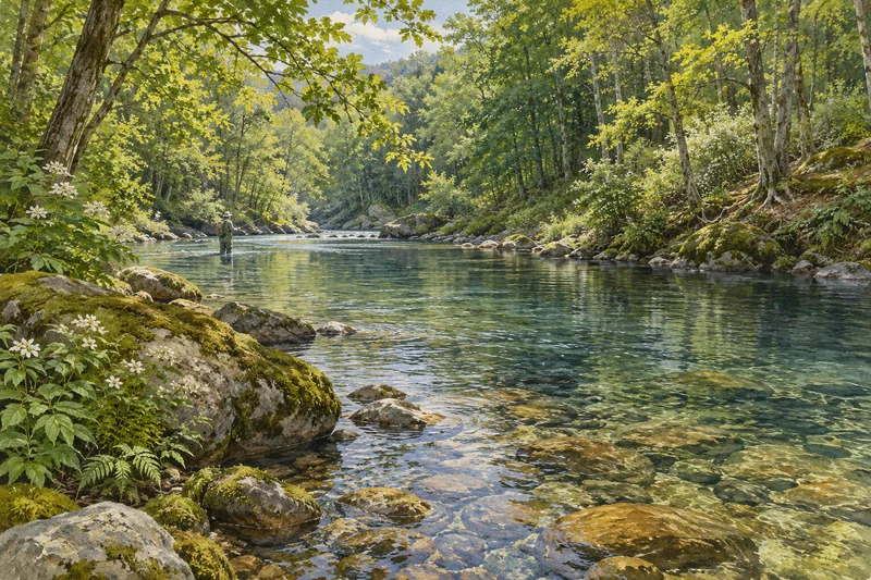
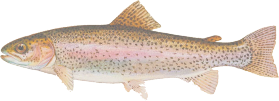 Rainbow troutStocked rainbows and browns, wild brook trout
Fish on your own. Guide prices are optional; check licence, permit and access requirements before going.
Highlighted stretches run through, or along, land open to the public: state forests and parks, MassWildlife Wildlife Management Areas, town conservation land, land trust reserves and federal land.Dimmed stretches cross private land or land with no public access recorded. Land marked as limited access is open with conditions (permits, hours or residents only).
Along most Massachusetts streams the banks, and usually the streambed, belong to the neighboring landowner. Fish from public land or with permission, and follow posted signs. Many stocked streams are fished across private land whose owners allow it, so more water is fishable than the public miles shown here.
Statewide trout rules: open all year; 6 trout a day, of which no more than 3 may be brook, brown or tiger trout; no minimum length. On the Housatonic River outside the catch-and-release areas: 1 trout a day, 20-inch minimum. MassWildlife freshwater fishing regulations.
Catch-and-release rules are copied from MassWildlife's catch-and-release areas page (checked 2026-10-13). Each area's line follows the stream between the dams and bridges its limits name; where MassWildlife gives a length instead of a landmark, the end is placed by that length and marked approximate. The area is as posted. Stocking dates cover the current season's reports; stocked reaches are where MassWildlife stocks, by stream and town.
These catch-and-release areas have no stream line we can place yet:
Spot something wrong? Tell us.