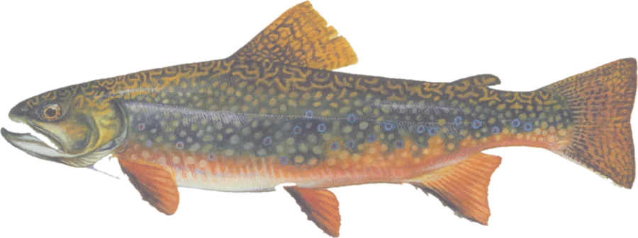
 Brook troutNative brook trout, landlocked salmon
Fish on your own. Guide prices are optional; check licence, permit and access requirements before going.
JFMAMJJASOND
- Guide, per angler
- $225–300
- Public access
- Moderate
- Crowding
- Low
Explore high-value stream habitat for brook trout and other native fish, ranked with Maine fisheries biologists. Find public-land context, public boat launches, wildlife-area access and river gauges.
Habitat value is a planning guide. These conservation ratings include current and potential habitat, not a current fish-presence or stocking survey. A highlighted bank does not establish legal entry or permission to fish. Check the current Maine fishing rules, access details and signs.
Check before you fish. Access, stocking and regulations here come from Maine's own data and can be out of date. Posted signs and landowners' wishes come first, and private land needs permission. The rules that apply are in the Maine inland fishing laws and rules, and you need a valid fishing license.
Bold where the stream crosses public land; faint and dashed across private land. Gauges are measurement stations; a nearby gauge may be on a different stream.
Stream types · Maine
Bold where the stream crosses public land
Brook troutNative brook trout, landlocked salmonFish on your own. Guide prices are optional; check licence, permit and access requirements before going.
Habitat filters use the published 2024 brook-trout habitat-rating stream layer, created with Maine Inland Fisheries and Wildlife, Marine Resources and The Nature Conservancy. High and Very High are conservation priorities for native fisheries, including brook trout and other native fish. They describe current and potential habitat reviewed by biologists, not a guarantee of fish at every reach. Other rankings, unnamed reaches and a full inventory of stocked waters are not included.
Stream lines come directly from the source’s hydrography. Habitat polygons are not drawn as rivers. Lines can include network connections through waterbodies; lakes and ponds are not shown as fishing areas. Connected named reaches are grouped using the source’s network nodes. Disconnected habitat sections appear separately, including gaps along the same river. County filters help distinguish similarly named brooks.
Public-land highlights use fee-owned parcels marked open access in USGS PAD-US, with a roughly 20-meter bank tolerance. They do not include every public easement or privately permitted access route. A dimmed reach does not by itself establish that fishing is prohibited.
Access markers are official public boat sites and visible wildlife-area access points where the state lists fishing among recreational uses. Only sites within about 800 meters of mapped water are included. Carry-in sites are distinguished from ramps; these are facility locations, not verified parking or guaranteed entry to a particular stream. Check the boat-site guide for facilities and restrictions.
For recent stocking, use the official stocking report. Follow water-specific rules; habitat for sea-run Atlantic salmon does not imply an open salmon fishery.