Wisconsin· Data built October 26, 2026

Wisconsin trout water

Explore Wisconsin’s classified trout streams, with nearby shore-fishing sites and launches, public-bank context and river gauges.

Mapped trout sections
2,538
Nearby access facilities
 

Check before you fish. Access, stocking and regulations here come from Wisconsin's own data and can be out of date. Posted signs and landowners' wishes come first, and private land needs permission. The rules that apply are in the Wisconsin trout fishing regulations, and you need a valid fishing license.

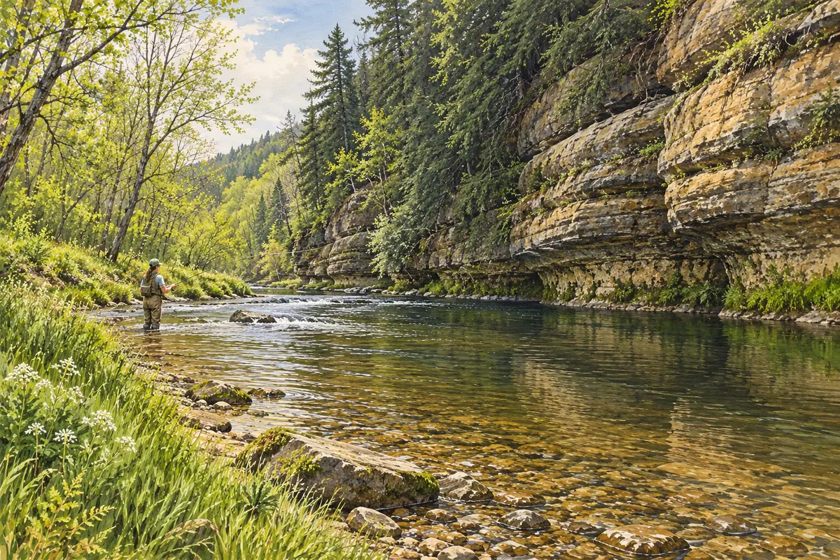
Painting of an angler wading a spring creek below a limestone bluff
Driftless Area · Wisconsin

See every WI water and its planner coverage · Plan a self-guided trip

2,538 trout sections
Legend & map details
Class IClass IIClass IIINot public landPublic landFishing accessLaunchRiver gauge, flow for the date: low below normal above high no reading

How to read this map · Help with the map

Fly fishing destinations in Wisconsin · guide rates, best months and access

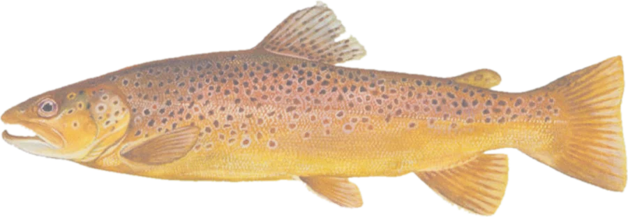
Painting of a brown trout
Trout

Driftless Area

Spring creeks around Viroqua and Westby, Wisconsin, and southeast Minnesota · USA

Fly into LSE, 1 hr

Guide, per angler
$250–325
Public access
Good
Crowding
Medium

How to read this map

Layers, public land, access and sources

Official DNR trout classifications describe management: Class I waters support self-sustaining populations; Class II waters combine natural reproduction and stocking; Class III waters depend on stocking. These categories do not confirm a recent stocking, current abundance or harvest rules. Unnamed waters and spring-pond polygons are omitted.

Public-bank context includes open-access public land and the published county fishing-easement inventory, excluding easements with recorded expired terms. County easements are incomplete and grant limited fishing rights, not unrestricted use of surrounding private land. Not every DNR or private easement is covered.

Shore-fishing and boat markers come from the current DNR water-access service. Abandoned launches and launches identified as privately owned are excluded. Confirm site conditions, posted restrictions and current regulations before visiting.

Highlighted banks adjoin mapped open-access public land, with a roughly 20-meter bank tolerance. Dimmed water has no adjacent open-access parcel recorded in this source. Neither determines legal entry, rights of way or permission to cross private land. Check signs, property rules and the current fishing regulations.

Access markers are source facility locations within about 800 meters of mapped water, not verified parking spaces or guaranteed entry to a particular reach. River-gauge readings describe the gauged location; a nearby gauge on another stream is shown as context.

Sources

Browse by species

Pick a fish to explore its waters, seasons and public access.