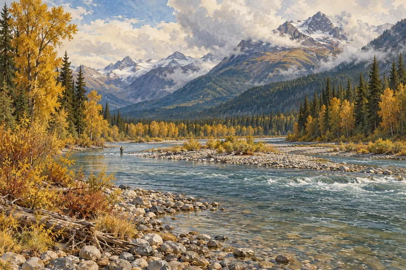
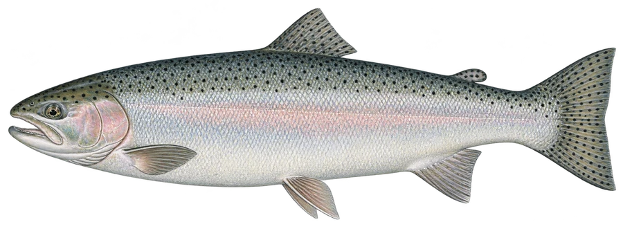
 SteelheadWild steelhead, coho and chinook salmon
Fish on your own. Guide prices are optional; check licence, permit and access requirements before going.
JFMAMJJASOND
- Guide, per angler
- $750
- Public access
- Moderate
- Crowding
- Medium
Explore British Columbia’s steelhead, trout and char rivers, from the Skeena, Bulkley and Dean to the Thompson, Elk and Kootenay, plus the province’s trout lakes, with Crown land, parks and Recreation Sites, river gauges and the fishing region for each water.
Check before you fish. Access, stocking and regulations here come from British Columbia's own data and can be out of date. Posted signs and landowners' wishes come first, and private land needs permission. The rules that apply are in the BC Freshwater Fishing Regulations Synopsis, and you need a valid fishing license.
Bold where the stream crosses public land; faint and dashed across private land. Gauges are measurement stations; a nearby gauge may be on a different stream.
Stream types · British Columbia
Bold where the stream crosses public land
SteelheadWild steelhead, coho and chinook salmonFish on your own. Guide prices are optional; check licence, permit and access requirements before going.
A river is drawn when the province’s Known BC Fish Observations list a trout, char, steelhead or salmon on it, and it’s drawn whole, from mouth to source, from the Freshwater Atlas. Records show that a species was found somewhere on the river, sometimes decades ago, not that it’s present on every reach: falls and dams can stop fish well short of the headwaters. Unnamed streams are left out.
Trout lakes are named lakes with a trout, char or grayling observation, marked at a recorded observation point. BC’s stocking reports aren’t published as open data and the stocking site doesn’t allow automated reading, so stocking isn’t shown; check GoFishBC for stocked lakes.
Seasons, limits, gear rules and closures are set by fishing region and by water in the Freshwater Fishing Regulations Synopsis, linked for each water’s region. Some rivers are Classified Waters, which need an extra licence and, for non-residents, sometimes a guide; check the synopsis before you fish.
Most of British Columbia is provincial Crown land. Highlighted stretches lie outside private, First Nations and unclassified parcels and Indian reserves, and parks are shown on the map; Crown land itself isn’t shaded. A stretch counts as public only with no private parcel or reserve within about 60 metres, so on a wide river one bank can still be private. Crossing private land or a reserve to reach the water needs permission. Some Crown watersheds are closed to the public, such as the drinking-water supply areas above the Capilano, Seymour and Coquitlam dams. Access markers are Recreation Sites and Trails BC sites near mapped water.
Highlighted banks adjoin mapped open-access public land, with a roughly 20-meter bank tolerance. Dimmed water has no adjacent open-access parcel recorded in this source. Neither determines legal entry, rights of way or permission to cross private land. Check signs, property rules and the current fishing regulations.
Access markers are source facility locations within about 800 meters of mapped water, not verified parking spaces or guaranteed entry to a particular reach. River-gauge readings describe the gauged location; a nearby gauge on another stream is shown as context.